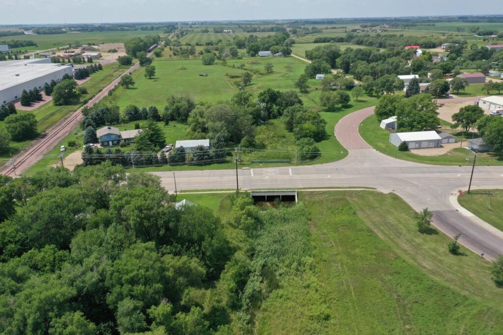
Our drainageways are an important natural resource to our cities, but they do require to be planned for and maintained. The City of Mitchell recognized the need to care for their resource by improving the Dry Run Creek drainage channel flowing through the center of town. Due to the overall needs of the project and nature of it being in the floodplain, it was broken into phases to accomplish the City’s goals. The first phase of the project was focused on field survey, permitting and public outreach. Phase two consisted of the analysis of the entire drainage basin, analysis and design of a new channel section, and preliminary design of drainage channel structures, culvert extensions, and storm sewer repairs or replacements.
The drainage analysis was pivotal to a full understanding of the existing issues along the floodplain. InfrastructureDG utilized GeoHECRAS to create 2D models of the channel. The team was able to create floodplain maps used in the permitting process with FEMA.
